
Drone photography in Deer Run, Alberta
Deer Run ends where the valley begins: its outermost streets stop at Fish Creek Provincial Park, with Sikome Lake and the flats around Bow Valley Ranche lying just past the last fence line. From the ground that adjacency is a fence line; a photographer cannot legally set up inside the park to shoot back, so the lake and the valley — the reason people buy here — stay out of the picture.
Does Fly4MEdia fly drones in Deer Run?
Yes. Fly4MEdia flies drone photography and cinematography in Deer Run, Alberta. The airspace is Class G uncontrolled. This airspace does not normally require an authorisation. From the Calgary base, mobilisation is typically 20 minutes.
Deer Run at a glance.
| Base of operations | Calgary, Alberta |
|---|---|
| Drive time from base | 20 minutes |
| Airspace | Class G uncontrolled |
| Nearest aerodrome | Kirkby Field (Indus) |
| Authorisation required | No |
| Flight status | Flown routinely |
| Certification | Transport Canada RPAS — Advanced Operations |
| Response | Reply within one business day |
| Airspace last verified | 2026-09-01 |
Flying Deer Run: the ground truth.
Deer Run ends where the valley begins: its outermost streets stop at Fish Creek Provincial Park, with Sikome Lake and the flats around Bow Valley Ranche lying just past the last fence line. From the ground that adjacency is a fence line; a photographer cannot legally set up inside the park to shoot back, so the lake and the valley — the reason people buy here — stay out of the picture.
The aircraft launches from the property and climbs until Sikome Lake and the valley flats open up past the rooftops, composed entirely from outside the park boundary and delivered in the standard turnaround.
Airspace. In uncontrolled Class G airspace about 13 km from Kirkby Field (Indus), Deer Run lies outside the charted Calgary-area control zones, and no authorisation is normally required. Before any flight, the exact site and altitude are checked against NAV Drone. This is a corridor-level assessment; the specific address is confirmed against NAV Drone before every flight.
Terrain. A flat residential pocket pressed against the Fish Creek valley; past the last streets the ground opens into flats, water and cottonwood canopy inside a single wide frame.
Wind. Chinook country; the adjacent valley gives some low-level variation, but planning treats Deer Run as exposed — gust spread, not average speed, sets the flight call.
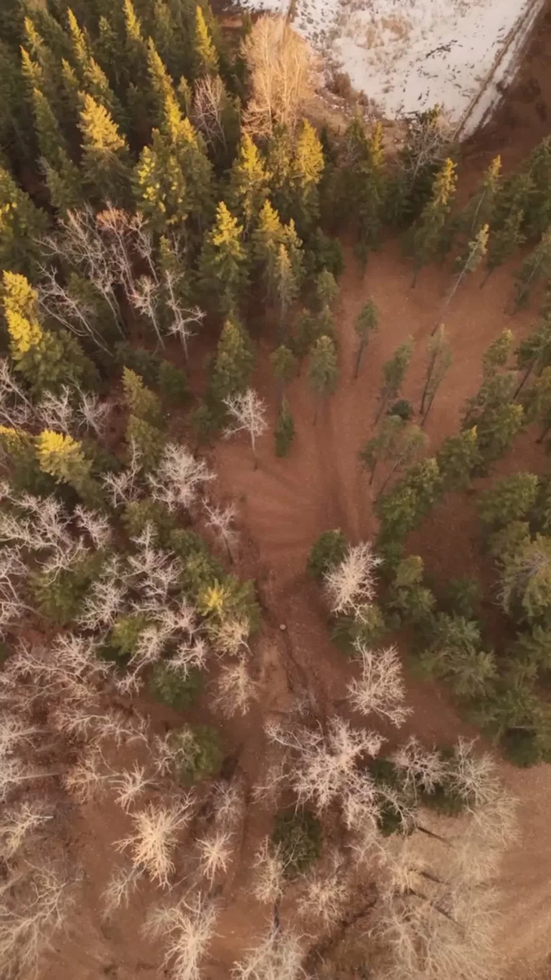
Light. Open-water months give the strongest frames — lake, flats and canopy in colour beside the community — with a short golden window each fall as the valley turns. Winter reduces the valley to line and shadow, which still composes well.
On the ground. City of Calgary park and pathway bylaws restrict drone launches on municipal land, and provincial park rules govern the adjacent valley, so private-property launch with the client's consent is the default. About 20 minutes from the base. Comfortably same-day, and a Deer Run flight pairs naturally with Deer Ridge or Douglasdale in a single mobilisation.
From the reel
What gets shot in Deer Run.
- luxury residential
- municipal infrastructure
Every subject above is delivered through the same aerial photography and cinematography services, scoped and quoted before the shoot is booked.
What the research actually says.
91% less analysis time
Colonial Pipeline reports its drone analytics programme reduced inspection analysis time by 91%, prevented fourteen significant incidents annually and saved $4.2 million in emergency response costs.
Capture is the cheap half. The expensive half is turning imagery into a decision, and that is where the reduction lands.
Reported by Power Engineering, 2025
18 days to 4 hours
Marathon Pipe Line cut its response time to potential pipeline issues from eighteen days to four hours using drone inspection, preventing six major incidents in the first year at a reported saving of $8.3 million.
On linear infrastructure the cost is not the inspection. It is the time between a fault existing and anyone knowing about it.
Reported by Power Engineering, 2025
Advanced certificate
Transport Canada requires a Pilot Certificate for Advanced Operations to fly a remotely piloted aircraft in controlled airspace or near bystanders.
Most of Calgary sits inside the CYYC control zone. An operator without this certificate cannot legally fly the majority of addresses in the city.
Transport Canada, 2025
Deer Run and what surrounds it.
- Aerial photography in Deer Ridge1 km · Class G uncontrolled
- Aerial photography in Douglasdale/Glen4 km · Class G uncontrolled
- Aerial photography in Sundance5 km · Class G uncontrolled
- Aerial photography in Acadia4 km · Class G uncontrolled
- Aerial photography in Albert Park9 km · CYYC control zone edge
How a Deer Run shoot runs.
- 01Scope and quote. Most Deer Run work is luxury residential or municipal infrastructure, and the shot list follows the subject. Mobilisation is stated separately from the fee.
- 02Airspace. Checked against NAV Drone from the address, not the postcode. Deer Run is class g uncontrolled, so authorisation is not normally required — but Kirkby Field (Indus) is 13 km away and its circuit is plotted regardless.
- 03Weather window. Chinook country; the adjacent valley gives some low-level variation, but planning treats Deer Run as exposed — gust spread, not average speed, sets the flight call. Open-water months give the strongest frames — lake, flats and canopy in colour beside the community — with a short golden window each fall as the valley turns. Winter reduces the valley to line and shadow, which still composes well.
- 04Shoot day. About 20 minutes from the Calgary base. Launch from the subject property with the owner's permission; city of Calgary park and pathway bylaws restrict drone launches on municipal land, and provincial park rules govern the adjacent valley, so private-property launch with the client's consent is the default.
- 05Delivery. Edited files delivered digitally — no attendance required at any stage, which is how out-of-province owners of Deer Run property are served.
Deer Run questions, answered.
Is Deer Run controlled airspace for drone purposes?
No. Deer Run lies in uncontrolled Class G airspace, about 13 km from Kirkby Field at Indus, and no airspace authorisation is normally required. What remains is site discipline: the specific address and altitude are still confirmed against NAV Drone before every flight, the same as anywhere else we fly.
Can Sikome Lake or Bow Valley Ranche appear in my frames?
Yes, as backdrop. Both sit inside Fish Creek Provincial Park, where drone takeoff and landing are restricted, so the aircraft launches from private property and composes toward them from outside the boundary. Water, ranche flats and valley canopy then carry the wide frames without touching park land.
What time of year shows Deer Run best?
The open-water months. From ice-off through early fall the lake and river flats hold colour and contrast beside the community, and fall turns the valley canopy gold for a short, high-value window. Winter frames still work — the valley reads as clean line and shadow — but the green season sells hardest.
Deer Run is 1 km from Deer Ridge.
Mobilisation is quoted from the Calgary base, so a shoot in Deer Run and one 1 km away in Deer Ridge are priced differently even when the subject is identical.
Nearby
Coverage
Airspace information last verified . Rules change — every flight is re-checked before it happens.