
Drone photography in University District, Alberta
University District was drawn as a walkable grid from its first plan — University District Drive NW and Innovation Boulevard NW cross at city-block intervals — and from altitude that tight grid reads as a deliberate break from the curved streets around it. Retail and development clients here are selling the plan itself — street wall, block rhythm, build-out pace — and no ground camera can show a plan; it can only show one corner of it.
Does Fly4MEdia fly drones in University District?
Yes. Fly4MEdia flies drone photography and cinematography in University District, Alberta. The airspace is Class C control zone (CYYC). Work here flies under an Advanced RPAS certificate, and the airspace authorisation is filed before any shoot date is confirmed. Typical mobilisation from the Calgary base is 15 minutes.
University District at a glance.
| Base of operations | Calgary, Alberta |
|---|---|
| Drive time from base | 15 minutes |
| Airspace | Class C control zone (CYYC) |
| Nearest aerodrome | Calgary International Airport (CYYC) |
| Authorisation required | Yes — filed before booking is confirmed |
| Flight status | Flown with airspace authorisation |
| Certification | Transport Canada RPAS — Advanced Operations |
| Response | Reply within one business day |
| Airspace last verified | 2026-09-01 |
Flying University District: the ground truth.
University District was drawn as a walkable grid from its first plan — University District Drive NW and Innovation Boulevard NW cross at city-block intervals — and from altitude that tight grid reads as a deliberate break from the curved streets around it. Retail and development clients here are selling the plan itself — street wall, block rhythm, build-out pace — and no ground camera can show a plan; it can only show one corner of it.
An approach run down the boulevard, or a repeat progress series over the active blocks, puts the whole plan in frame, delivered in the standard turnaround.
Airspace. University District lies inside the charted CYYC control zone, about 10 km from Calgary International. Work here flies under an Advanced RPAS certificate, and the NAV CANADA RPAS authorisation is in hand before a shoot date is confirmed. Flight plans here also keep clear of Alberta Children's Hospital heliport, operating about 1 km away. The specific site and altitude are confirmed against NAV Drone before every flight. This is a corridor-level assessment; the specific address is confirmed against NAV Drone before every flight.
Terrain. A level plateau parcel, compact and fully urban — the relief in an aerial frame here comes from building mass and block pattern, not from the ground.
Wind. Chinook belt, on an open plateau. Mid-rise blocks generate local gusting and channelling at street level, so low passes between buildings get their own wind assessment.
Light. The flat site takes the full golden hour year-round. Winter's low sun rakes the building faces and makes the street wall legible; summer evenings favour Rectangle Park and the retail frontage.
On the ground. City of Calgary bylaws restrict drone takeoff and landing in parks and public spaces, so University District flights stage from private or client-controlled property with consent. About 15 minutes from the Calgary base — practical at short notice, and easily paired with University Heights, Varsity or Brentwood in a single mobilisation.
From the reel
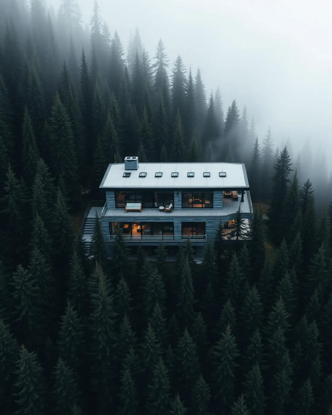
What gets shot in University District.
- commercial retail
- construction progress
- new build subdivision
Every subject above is delivered through the same aerial photography and cinematography services, scoped and quoted before the shoot is booked.
What the research actually says.
USD 9.83 billion
Emergen Research sizes the global drone inspection and monitoring market at nearly ten billion dollars in 2025, growing at a 16.4% compound annual rate.
Aerial capture is a procured category with established vendors and comparable rates, not an experimental line item requiring internal justification.
Emergen Research, 2025
Up to 75% less time
McKinsey & Company reports that drones can cut surveying time by up to three quarters against traditional ground methods — a three-day site survey completed inside one.
On a consulting engagement billed by the day, survey duration is not a line item. It is the schedule.
Reported by McKinsey & Company, cited by Datumate, 2025
Up to 90% lower
An Oklahoma pipeline operator reports remediation cost reductions of up to ninety per cent through early leak detection by drone.
Remediation cost scales with how long a problem ran undetected. Detection frequency is the variable, and aerial capture is what makes frequency affordable.
Reported by Power Engineering, 2025
University District and what surrounds it.
- Aerial photography in University Heights1 km · Class C control zone (CYYC)
- Aerial photography in Varsity1 km · Class C control zone (CYYC)
- Aerial photography in Brentwood1 km · Class C control zone (CYYC)
- Aerial photography in Arbour Lake7 km · CYYC control zone edge
- Aerial photography in Banff Trail2 km · Class C control zone (CYYC)
How an University District shoot runs.
- 01Scope and quote. Most University District work is commercial retail or construction progress, and the shot list follows the subject. Mobilisation is stated separately from the fee.
- 02Airspace. University District sits under Calgary International Airport (CYYC), 10 km away. Authorisation is filed with NAV CANADA and the date is confirmed once it is in hand.
- 03Weather window. Chinook belt, on an open plateau. Mid-rise blocks generate local gusting and channelling at street level, so low passes between buildings get their own wind assessment. The flat site takes the full golden hour year-round. Winter's low sun rakes the building faces and makes the street wall legible; summer evenings favour Rectangle Park and the retail frontage.
- 04Shoot day. About 15 minutes from the Calgary base. Launch from the subject property with the owner's permission; city of Calgary bylaws restrict drone takeoff and landing in parks and public spaces, so University District flights stage from private or client-controlled property with consent.
- 05Delivery. Edited files delivered digitally — no attendance required at any stage, which is how out-of-province owners of University District property are served.
University District questions, answered.
What approvals does a drone shoot in University District need?
Airspace authorisation, arranged in advance. The district is about 10 km from Calgary International, inside the CYYC control zone, so flights operate under an Advanced RPAS certificate with NAV CANADA authorisation obtained before the shoot is confirmed — and plans keep clear of the Alberta Children's Hospital heliport approaches.
Does the Alberta Children's Hospital heliport limit where you can fly?
It fixes part of the route. The heliport operates about 1 km away and its approaches take absolute priority, so flight plans around University District are drawn to stay clear of them. In practice that shapes the path to a frame, not whether the frame can be made.
Can you document University District's build-out over time?
Yes. Repeat flights on fixed waypoints and matched altitudes record each block's rise against the grid, visit after visit, so the series stays comparable. The control-zone authorisation is arranged for every flight as part of scheduling, so the series never slips its calendar.
University District is 1 km from University Heights.
Every quote starts at the Calgary base, which is why identical subjects in University District and University Heights — 1 km apart — price differently.
Nearby
Coverage
Airspace information last verified . Rules change — every flight is re-checked before it happens.