
Drone photography in Cranston, Alberta
Cranston splits across the Cranston Ridge Escarpment: most of the community sits up on the plateau, while the Riverstone streets — Riverstone Manor SE, Cranbrook Drive SE — sit a full terrace below, on the valley floor beside the water. Shot from the driveway, a Riverstone address reads like any suburban street — the water beside it and the escarpment above it, the two things the buyer is actually weighing, are both out of frame.
Does Fly4MEdia fly drones in Cranston?
Yes. Fly4MEdia flies drone photography and cinematography in Cranston, Alberta. The airspace is Class G uncontrolled. Authorisation is not normally required in this airspace. From the Calgary base, mobilisation is typically 25 minutes.
Cranston at a glance.
| Base of operations | Calgary, Alberta |
|---|---|
| Drive time from base | 25 minutes |
| Airspace | Class G uncontrolled |
| Nearest aerodrome | Kirkby Field (Indus) |
| Authorisation required | No |
| Flight status | Flown routinely |
| Certification | Transport Canada RPAS — Advanced Operations |
| Response | Reply within one business day |
| Airspace last verified | 2026-09-01 |
Flying Cranston: the ground truth.
Cranston splits across the Cranston Ridge Escarpment: most of the community sits up on the plateau, while the Riverstone streets — Riverstone Manor SE, Cranbrook Drive SE — sit a full terrace below, on the valley floor beside the water. Shot from the driveway, a Riverstone address reads like any suburban street — the water beside it and the escarpment above it, the two things the buyer is actually weighing, are both out of frame.
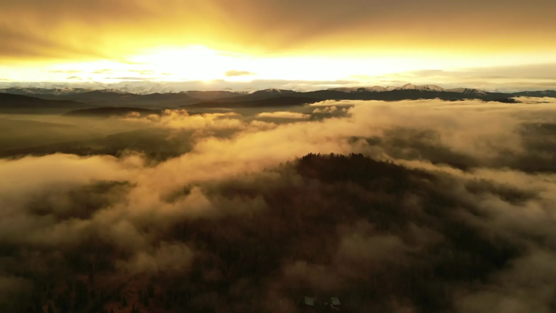
A rising reveal off the valley floor lifts the frame until water, home and escarpment sit in one composition, launched from the property itself and delivered in the standard turnaround.
Airspace. Cranston sits in uncontrolled Class G airspace, clear of the charted Calgary-area control zones and about 8 km from Kirkby Field (Indus). Authorisation is not normally required here. South Health Campus heliport operates about 1 km away, and flight plans keep clear of its approaches. Before any flight, the exact site and altitude are checked against NAV Drone. This is a corridor-level assessment; the specific address is confirmed against NAV Drone before every flight.
Terrain. Split terrain: a plateau community above the Cranston Ridge Escarpment, with the Riverstone streets on the valley floor below — the drop reads as one clean diagonal from the air.
Wind. Chinook belt, with a local wrinkle: west wind spilling over the Cranston Ridge Escarpment adds turbulence at the rim, so the plateau edge and the valley floor are read as separate wind environments.
Light. The escarpment face takes the last light of the day, which is the window for ridge-line homes; the valley floor falls into shadow earlier and is scheduled ahead of it. Smoke season is the main late-summer risk.
On the ground. City of Calgary parks bylaws restrict takeoff and landing on municipal park and pathway land, and provincial park rules apply along the valley, so launches stage from private property with consent. About 25 minutes from the base. Same-day is realistic, and Cranston sits beside McKenzie Lake, Auburn Bay and Seton, so multi-property runs are efficient here.
From the reel
What gets shot in Cranston.
- luxury residential
- new build subdivision
- construction progress
Every subject above is delivered through the same aerial photography and cinematography services, scoped and quoted before the shoot is booked.
What the research actually says.
40–60% lower
Construction programmes adopting systematic drone survey report reductions of roughly half in surveying cost, alongside faster data collection.
The saving is structural rather than one-off: it applies to every survey cycle across the life of the project.
Reported by Datumate, 2025
30% more
McKinsey research cited across the inspection sector finds that organisations relying on manual inspection spend materially more on maintenance and safety than those using drone-based assessment.
For a portfolio of assets, the inspection method is a recurring cost line, not a one-off purchase. The differential compounds annually.
Reported by McKinsey & Company, cited by Averroes, 2025
91% less analysis time
Colonial Pipeline reports its drone analytics programme reduced inspection analysis time by 91%, prevented fourteen significant incidents annually and saved $4.2 million in emergency response costs.
Capture is the cheap half. The expensive half is turning imagery into a decision, and that is where the reduction lands.
Reported by Power Engineering, 2025
Cranston and what surrounds it.
- Aerial photography in McKenzie Lake5 km · Class G uncontrolled
- Aerial photography in Auburn Bay1 km · Class G uncontrolled
- Aerial photography in Seton1 km · Class G uncontrolled
- Aerial photography in Acadia12 km · Class G uncontrolled
- Aerial photography in Albert Park16 km · CYYC control zone edge
How a Cranston shoot runs.
- 01Scope and quote. Most Cranston work is luxury residential or new build subdivision, and the shot list follows the subject. Mobilisation is stated separately from the fee.
- 02Airspace. Checked against NAV Drone from the address, not the postcode. Cranston is class g uncontrolled, so authorisation is not normally required — but Kirkby Field (Indus) is 8 km away and its circuit is plotted regardless.
- 03Weather window. Chinook belt, with a local wrinkle: west wind spilling over the Cranston Ridge Escarpment adds turbulence at the rim, so the plateau edge and the valley floor are read as separate wind environments. The escarpment face takes the last light of the day, which is the window for ridge-line homes; the valley floor falls into shadow earlier and is scheduled ahead of it. Smoke season is the main late-summer risk.
- 04Shoot day. About 25 minutes from the Calgary base. Launch from the subject property with the owner's permission; city of Calgary parks bylaws restrict takeoff and landing on municipal park and pathway land, and provincial park rules apply along the valley, so launches stage from private property with consent.
- 05Delivery. Edited files delivered digitally — no attendance required at any stage, which is how out-of-province owners of Cranston property are served.
Cranston questions, answered.
The South Health Campus heliport is close — can you still fly in Cranston?
Yes. Cranston lies in uncontrolled Class G airspace about 8 km from Kirkby Field, so no authorisation is normally required. The heliport operates about 1 km away, which is why every Cranston flight plan is built around its approaches and the specific site and altitude are confirmed in NAV Drone first.
Why do Riverstone addresses gain the most from aerial work?
Because their two selling points are both out of frame from the ground. A valley-floor listing reads like any suburban street from the driveway; from altitude, the water beside it and the Cranston Ridge Escarpment behind it come back into the picture, which is what the buyer is actually weighing.
Does the escarpment change how a Cranston shoot is scheduled?
It can. On west-wind days the escarpment rim adds turbulence while the valley floor below stays workable, so the two halves of Cranston are read as separate wind environments. Ridge-line homes also take the last light of the day, which sets the preferred golden-hour slot.
Cranston is 5 km from McKenzie Lake.
Mobilisation is quoted from the Calgary base, so a shoot in Cranston and one 5 km away in McKenzie Lake are priced differently even when the subject is identical.
Nearby
Coverage
Airspace information last verified . Rules change — every flight is re-checked before it happens.