
Drone photography in Erin Woods, Alberta
In Erin Woods the aeronautical chart matters more than the street map: the CYYC control zone boundary runs near the community, and two addresses a few blocks apart can fall on different sides of it. A blanket quote gets Erin Woods wrong in one of two ways: promising a quick routine flight that turns out to need authorisation, or padding every booking with lead time half the community doesn't require.
Does Fly4MEdia fly drones in Erin Woods?
Yes. Fly4MEdia flies drone photography and cinematography in Erin Woods, Alberta. The airspace is CYYC control zone edge. Work here flies under an Advanced RPAS certificate, and the airspace authorisation is filed before any shoot date is confirmed. Typical mobilisation from the Calgary base is 20 minutes.
Erin Woods at a glance.
| Base of operations | Calgary, Alberta |
|---|---|
| Drive time from base | 20 minutes |
| Airspace | CYYC control zone edge |
| Nearest aerodrome | Calgary International Airport (CYYC) |
| Authorisation required | Yes — filed before booking is confirmed |
| Flight status | Flown with airspace authorisation |
| Certification | Transport Canada RPAS — Advanced Operations |
| Response | Reply within one business day |
| Airspace last verified | 2026-09-01 |
Flying Erin Woods: the ground truth.
In Erin Woods the aeronautical chart matters more than the street map: the CYYC control zone boundary runs near the community, and two addresses a few blocks apart can fall on different sides of it. A blanket quote gets Erin Woods wrong in one of two ways: promising a quick routine flight that turns out to need authorisation, or padding every booking with lead time half the community doesn't require.
The address is checked in NAV Drone at booking and planned as controlled airspace until the chart shows otherwise; where authorisation is needed it is filed before the date is confirmed, and delivery runs in the standard turnaround.
Airspace. At about 12 km from Calgary International, Erin Woods runs close to the charted edge of the CYYC control zone — which side of the line an address falls on decides the paperwork. Planning treats it as controlled airspace until NAV Drone shows otherwise, and any required authorisation is filed before the date is booked. Every flight is preceded by a NAV Drone check of the specific site and altitude. This is a corridor-level assessment; the specific address is confirmed against NAV Drone before every flight.
Terrain. Flat east-side grid; Elliston Park's open water and green space form the largest single feature in the frame, and everything else is roofline pattern.
Wind. Chinook-belt wind rules the calendar here as across the city; the flat, open grid gives no shelter, so the gust spread on the day decides the window.
Light. Long summer evenings put golden hour after working hours, which suits occupied residential shoots; winter's low sun works for pattern frames across the grid, and late-summer smoke is the main contrast risk.
On the ground. City of Calgary parks bylaws restrict drone takeoff and landing on municipal park and pathway land, including Elliston Park, so launches are staged from private property with the client's consent. About 20 minutes from the base. Distance is no constraint; the boundary check in NAV Drone at booking decides whether the date can be immediate or needs authorisation lead time.
From the reel
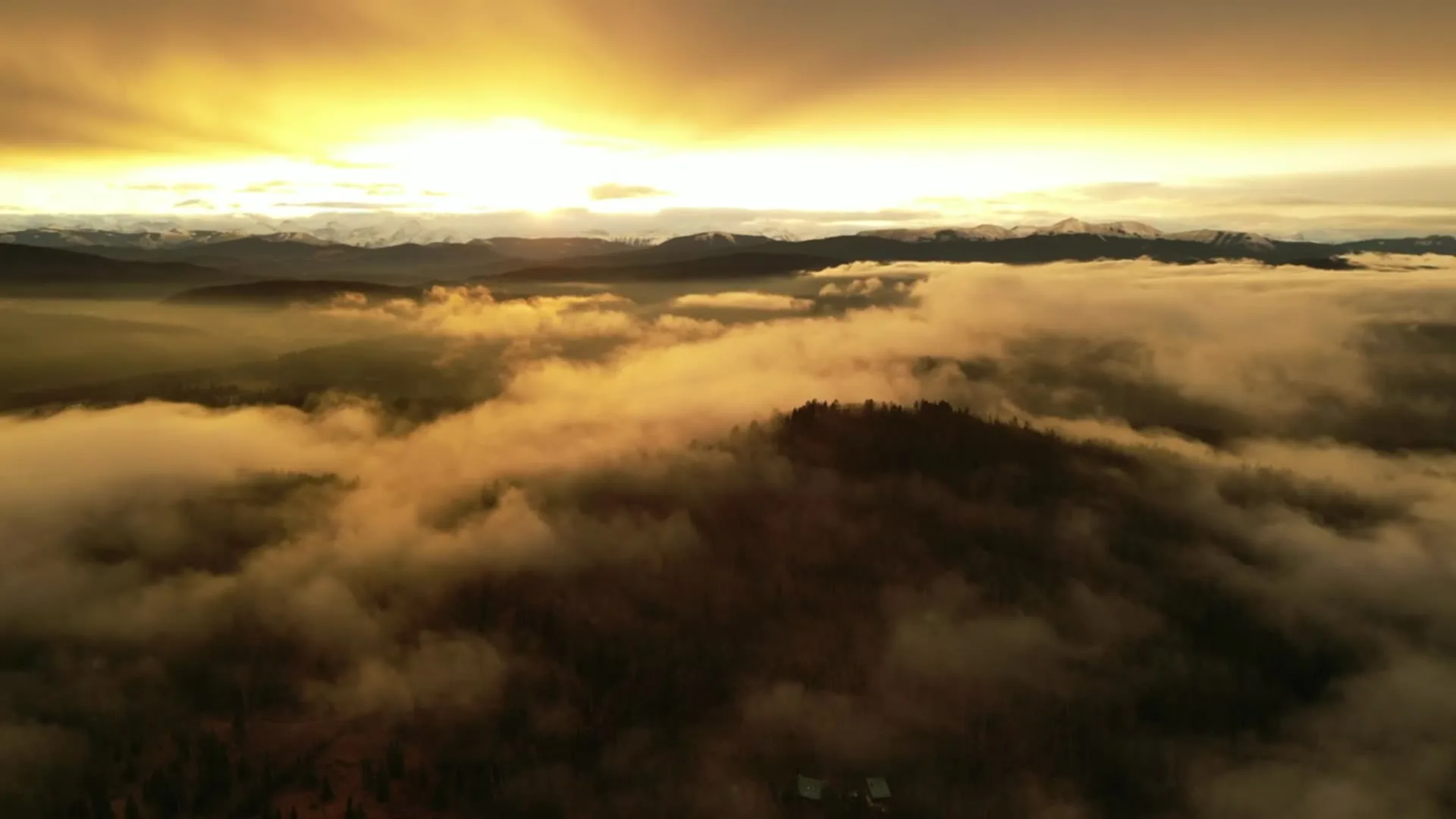
What gets shot in Erin Woods.
- luxury residential
- municipal infrastructure
Every subject above is delivered through the same aerial photography and cinematography services, scoped and quoted before the shoot is booked.
What the research actually says.
18 days to 4 hours
Marathon Pipe Line cut its response time to potential pipeline issues from eighteen days to four hours using drone inspection, preventing six major incidents in the first year at a reported saving of $8.3 million.
On linear infrastructure the cost is not the inspection. It is the time between a fault existing and anyone knowing about it.
Reported by Power Engineering, 2025
Up to 75% less time
McKinsey & Company reports that drones can cut surveying time by up to three quarters against traditional ground methods — a three-day site survey completed inside one.
On a consulting engagement billed by the day, survey duration is not a line item. It is the schedule.
Reported by McKinsey & Company, cited by Datumate, 2025
Up to 90% lower
An Oklahoma pipeline operator reports remediation cost reductions of up to ninety per cent through early leak detection by drone.
Remediation cost scales with how long a problem ran undetected. Detection frequency is the variable, and aerial capture is what makes frequency affordable.
Reported by Power Engineering, 2025
Erin Woods and what surrounds it.
- Aerial photography in Forest Lawn2 km · CYYC control zone edge
- Aerial photography in Dover1 km · CYYC control zone edge
- Aerial photography in Penbrooke Meadows3 km · Class C control zone (CYYC)
- Aerial photography in Albert Park3 km · CYYC control zone edge
- Aerial photography in Acadia10 km · Class G uncontrolled
How an Erin Woods shoot runs.
- 01Scope and quote. Most Erin Woods work is luxury residential or municipal infrastructure, and the shot list follows the subject. Mobilisation is stated separately from the fee.
- 02Airspace. Erin Woods sits under Calgary International Airport (CYYC), 12 km away. Authorisation is filed with NAV CANADA and the date is confirmed once it is in hand.
- 03Weather window. Chinook-belt wind rules the calendar here as across the city; the flat, open grid gives no shelter, so the gust spread on the day decides the window. Long summer evenings put golden hour after working hours, which suits occupied residential shoots; winter's low sun works for pattern frames across the grid, and late-summer smoke is the main contrast risk.
- 04Shoot day. About 20 minutes from the Calgary base. Launch from the subject property with the owner's permission; city of Calgary parks bylaws restrict drone takeoff and landing on municipal park and pathway land, including Elliston Park, so launches are staged from private property with the client's consent.
- 05Delivery. Edited files delivered digitally — no attendance required at any stage, which is how out-of-province owners of Erin Woods property are served.
Erin Woods questions, answered.
Why can two Erin Woods addresses face different drone rules?
Because the CYYC control zone boundary passes near the community, about 12 km from the airport. Which side of the charted line an address falls on decides whether authorisation is needed, so every site is checked in NAV Drone and planned as controlled airspace until the chart shows otherwise.
How should that boundary shape my Erin Woods booking?
Allow for the stricter case. If the address falls inside the zone, the NAV CANADA authorisation is filed before the date is confirmed; if it falls outside, the shoot simply proceeds sooner. Either way the check happens at booking, so the answer arrives before any date is promised.
Erin Woods is 2 km from Forest Lawn.
Because mobilisation is quoted from the Calgary base, Erin Woods and Forest Lawn, 2 km away, carry different quotes for an identical subject.
Nearby
Coverage
Airspace information last verified . Rules change — every flight is re-checked before it happens.